- Equipment
- Marine Electronics
- WAAS multi-purpose instrument
- Standard horizon

- Products
- Catalogs
- News & Trends
- Exhibitions
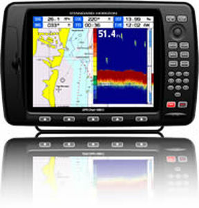
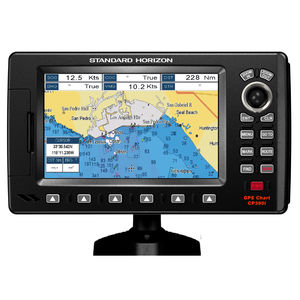
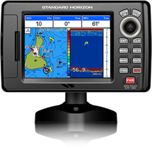
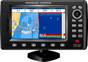
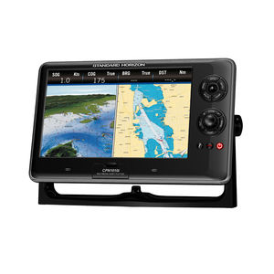
Chart plotter multi-purpose instrument CP190iNC radioAIScompass
Add to favorites
Compare this product
fo_shop_gate_exact_title
Characteristics
- Function
- chart plotter, radio, AIS, compass, GPS, WAAS
- Application domain
- marine
- Technology
- color, digital
- Mount
- fixed
- Additional function
- alarm
- Network
- VHF
- Other characteristics
- with integrated antenna, waterproof
Description
5" WAAS GPS CHART PLOTTER WITH INTERNAL ANTENNA
5” Color TFT daylight viewable LCD display
Internal 50 channel WAAS GPS receiver and antenna.
Connection for the optional external 50 Channel WAAS GPS Smart antenna
C-MAP NT+ and C-MAP MAX compatible
Fish Finder and AIS capable
Displays DSC Distress and Position report calls received from a DSC VHF radio
Customizable data windows
GPS Status, Chart, Navigation, Highway, Celestial, Tides, Chart/Fish, and AIS pages
3000 Marks / 50 Routes
20 Tracks with 10000 available track points
Dual chart window with independent zoom levels
Satellite images on base map
Font size selection on chart page
Navigation and Route line thickness
Find Key, allows quick access to Port information, tide stations, wrecks, Point Of Interest and coordinates (with optional C-Map MAX)
Navigate to an Olympic route
Automatic switching of Daylight savings time
Route checking
Supplied with a swivel mounting bracket and flush mounting hardware
Dedicated MARK, ROUTE and INFO keys
Overall dimension: 4.4"W x 7.1"H x 1.7"D
Flush mount cut out: 3.4"W x 6.5"W
2 NMEA inputs / 3 outputs
3 Year Waterproof Warranty
Catalogs
2014 Marine Catalog
16 Pages
Exhibitions
Meet this supplier at the following exhibition(s):

Related Searches
- Radio
- Combo
- Marine radio
- Fixed combo
- VHF radio
- Marine multi-purpose instrument
- Chart plotter combo
- Satellite multi-purpose instrument
- GPS combo
- Color combo
- Submersible radio
- Radio with DSC
- Combo with touch screen
- Waterproof radio
- IPX7 radio
- Fishfinder combo
- Radio with integrated GPS
- NMEA 2000® combo
- Floating radio
- Digital multi-purpose instrument
*Prices are pre-tax. They exclude delivery charges and customs duties and do not include additional charges for installation or activation options. Prices are indicative only and may vary by country, with changes to the cost of raw materials and exchange rates.


