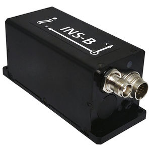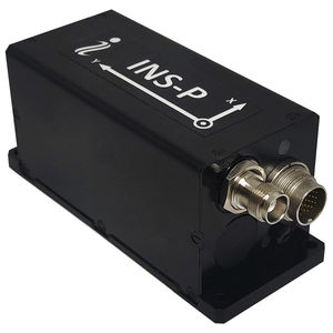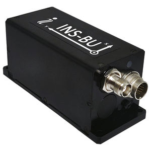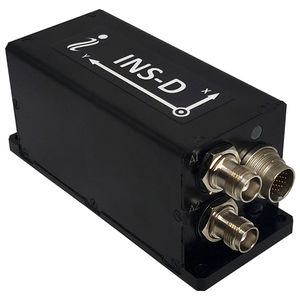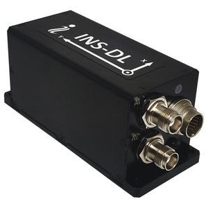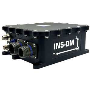
Ship INS INS-DUIMUfor hydrographic surveys
Add to favorites
Compare this product
Characteristics
- Application domain
- for ships
- Function
- IMU
- Other characteristics
- for hydrographic surveys
Description
Input signals
• Marine application: DVL (Doppler Velocity Log)
• Land application: Odometer, Wheel sensor, Encoder, DMI
• Aerial application: Wind sensor, Air Speed Sensor, Doppler shift from locator (for long-term GPS denied)
• All: External Stand-Alone Magnetic Compass (SAMC/AHRS)
Output signals
• Horizontal and Vertical Positions, Heading, Pitch, Roll, Velocity, Accelerations, Angular rates, Barometric data, PPS
• Direct AT_ITINS message with Position, Heading, Pitch & Roll to COBHAM AVIATOR UAV 200
• Direct Navigation Support for Pixhawk Flight Controllers as NMEA messages
Main features Low Cost, Dual antenna Heading, 1 cm RTK position
Data rate (INS) Hz Up to 200 (user settable)
Data rate (IMU) Hz Up to 2000 (user settable)
Start-up time sec <1
Positions, Velocity and Timestamps Units -
Horizontal position accuracy (SP, L1), RMS meters 1.5
Horizontal position accuracy (SP, L1/L2), RMS meters 1.2
Horizontal position accuracy (post processing) (1) meters 0.005
Horizontal position accuracy (RTK), RMS meters 0.01 + 1 ppm CEP
Vertical position accuracy (SP), RMS meters <2
Vertical position accuracy (RTK), RMS meters 0.02 + 1 ppm CEP
Position Accuracy (Free Inertial Land Vehicle) (2) %, DT 1 (Tunnel Guide positional aiding references)
Velocity accuracy, RMS meters/sec 0.05
Other Inertial Labs, Inc. products
INS – GPS-Aided Inertial Navigation Systems
Related Searches
- Boat sensor
- Ships sensor
- INS
- Yacht sensor
- NMEA 2000® sensor
- Ship INS
- Sailboat sensor
- IMU INS
- GNSS inertial navigation system
- MEMS inertial navigation system
- Angle sensor
- Pitch sensor
- Roll sensor
- High-accuracy inertial navigation system
- Marine inertial navigation system
- Position sensor
- Oceanographic research sensor
- GPS inertial navigation system
- Racing sailboat sensor
- ROV inertial navigation system
*Prices are pre-tax. They exclude delivery charges and customs duties and do not include additional charges for installation or activation options. Prices are indicative only and may vary by country, with changes to the cost of raw materials and exchange rates.


