- Products
- Catalogs
- News & Trends
- Exhibitions
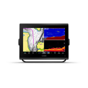
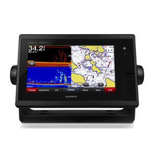
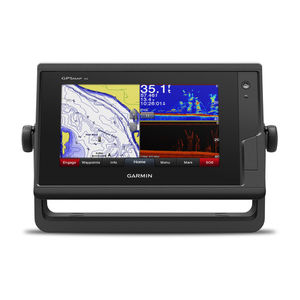
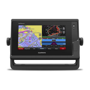
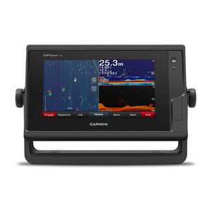
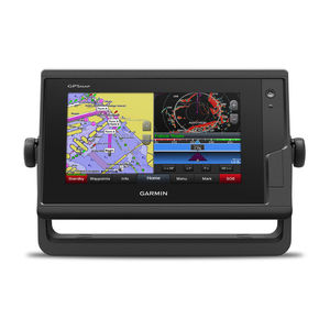
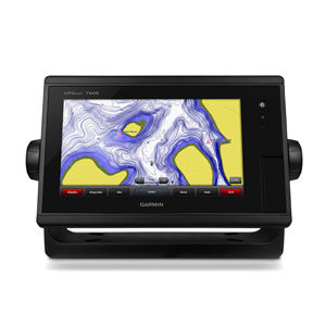
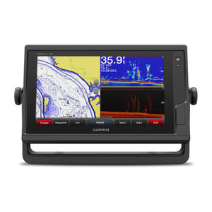
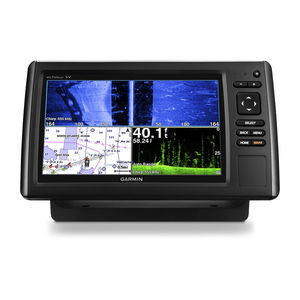
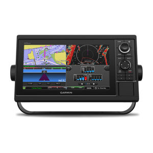
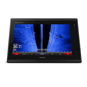
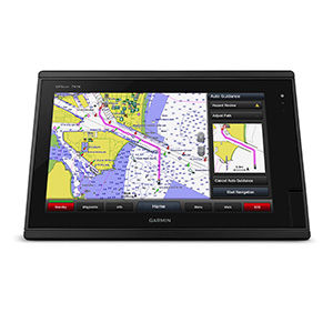
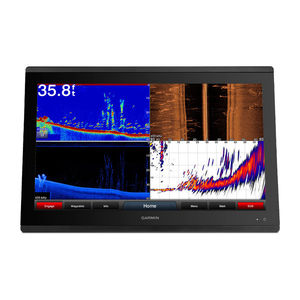
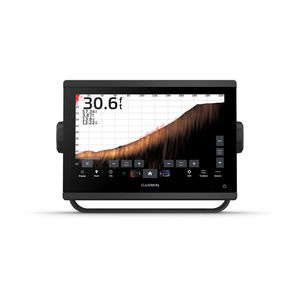
Chart plotter GPSMAP® 942sonarmarinedigital


Add to favorites
Compare this product
Characteristics
- Function
- chart plotter, sonar
- Application domain
- marine
- Technology
- digital
- Mount
- fixed
- Network
- NMEA 2000®
- Other characteristics
- with touch screen
Description
9-inch high-resolution intuitive touchscreen controls
NMEA 2000® and NMEA 0183 support for network connectivity, including autopilots, digital switching, weather, FUSION-Link, VHF, AIS and more
Garmin Marine Network support for sharing sonar, including Panoptix™ sonar, maps, user data, radar and IP cameras among multiple units
Preloaded U.S. LakeVü HD maps and BlueChart® g2 charts
Experience an advanced navigation solution with this compact 9-inch GPSMAP 942 touchscreen chartplotter. Includes wireless connectivity features for Garmin mobile apps, NMEA 2000 support and Garmin Marine Network support for radar and Panoptix FrontVü collision avoidance sonar.
Garmin Marine Network and NMEA 2000 Support
Full-network compatibility allows you to add more capabilities to your boat. Garmin Marine Network support allows sharing of sonar, including Panoptix sonar, maps, user data, dome or open-array radar and IP cameras among multiple units. Plus, there’s NMEA 2000 network connectivity and NMEA 0183 support for autopilots, digital switching, weather, FUSION-Link, VHF, AIS and other sensors.
Built-in ANT® Connectivity
Enjoy built-in ANT wireless connectivity directly to quatix® marine watch, Garmin Nautix™ in-view display, gWind™ Wireless 2 transducer, GNX™ Wind marine instrument and wireless remote controls.
VIDEO
Related Searches
- Garmin boat antenna
- Garmin boat sensor
- Radome antenna
- Radio
- Marine radio
- Video surveillance video camera
- Garmin sonar
- Garmin temperature sensor
- Garmin multi-purpose instrument
- VHF radio
- Garmin fixed multi-purpose instrument
- Display
- Garmin boat multi-purpose instrument
- Garmin depth transducer
- Garmin chart plotter
- Fixed video camera
- Garmin GPS
- AIS
- Boat display
- Multi-function display
*Prices are pre-tax. They exclude delivery charges and customs duties and do not include additional charges for installation or activation options. Prices are indicative only and may vary by country, with changes to the cost of raw materials and exchange rates.


