
{{product.productLabel}} {{product.model}}
{{#if product.featureValues}}{{product.productPrice.formattedPrice}} {{#if product.productPrice.priceType === "PRICE_RANGE" }} - {{product.productPrice.formattedPriceMax}} {{/if}}
{{#each product.specData:i}}
{{name}}: {{value}}
{{#i!=(product.specData.length-1)}}
{{/end}}
{{/each}}
{{{product.idpText}}}
... Expand and integrate to build your ideal system including navigation, radar, sonar, autopilot, and more. Build a tailored, multi-display system that is perfect for you and your boat ...
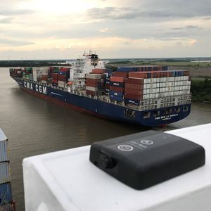
... pilot unit primarily designed to connect to a ship's AIS pilot plug and transmit data via Wi-Fi to the Pilot’s tablet/notebook. AIS is primarily intended for information, but not navigation. ...
Trelleborg Marine and Infrastructure
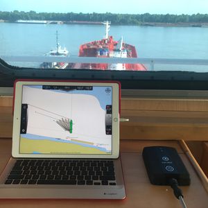
... interchangeable units of which one is connected to the AIS pilot plug and the other is placed on the bridge wing as dGPS receiver. When connected to the AIS pilot plug the unit allows for charging of ...
Trelleborg Marine and Infrastructure
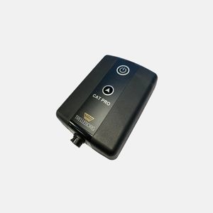
... SafePilot CAT PRO is a completely independent portable pilot unit designed to overcome the limitations of AIS and Wi-Fi range. Featuring an extended battery life as well as wireless charging, this lightweight ...
Trelleborg Marine and Infrastructure
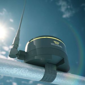
High-end RTK system weighing below 1.2 kg Wireless charging Pitch & Roll enabling real-time UKC Trelleborg's SafePilot CAT MAX solution is developed for applications requiring the highest positioning accuracy, for ...
Trelleborg Marine and Infrastructure
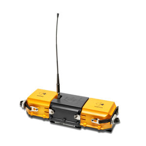
... reliable tool for navigation and berthing, providing all required navigational data and a large range of options for additional real time data integration. The CAT II is completely independent of the ship’s sensors. ...
Trelleborg Marine and Infrastructure
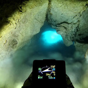
The electronic navigation console ENC3 is a revolutionary device and the only one so compact and powerful navigational underwater tool available on the market. ELECTRONIC NAVIGATION CONSOLE CREATED ...

Spatial FOG is a ruggedised GPS aided inertial navigation system and AHRS that provides accurate position, velocity, acceleration and orientation under the most demanding conditions. ...
Please specify:
Help us improve:
remaining