
{{product.productLabel}} {{product.model}}
{{#if product.featureValues}}{{product.productPrice.formattedPrice}} {{#if product.productPrice.priceType === "PRICE_RANGE" }} - {{product.productPrice.formattedPriceMax}} {{/if}}
{{#each product.specData:i}}
{{name}}: {{value}}
{{#i!=(product.specData.length-1)}}
{{/end}}
{{/each}}
{{{product.idpText}}}
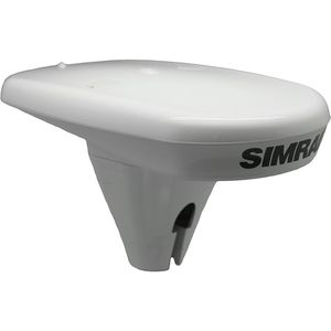
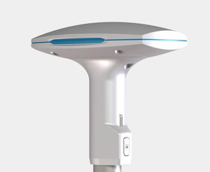
... alternative to a separate compass and GPS receiver. An accurate heading sensor is essential for autopilot, advanced radar features, and many other on-board electronics. The HS60 GPS compass ...
Weight: 350 g
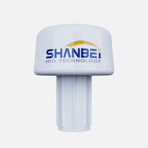
... electronic compass and high-precision GPS module, stable box direction values can be obtained and converted into standard NMEA0183 data. This product is a 9-axis sensor electronic compass: 3-axis ...
Operating temperature range: -25 °C - 55 °C
Weight: 1,200 g
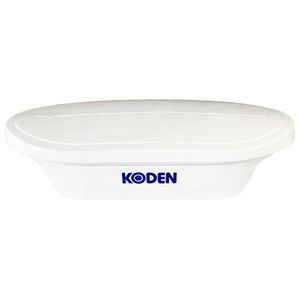
... Manual — Installation manual — Rev00
Technical specifications
- Product type: Multi GNSS Compass
- Supported GNSS: GPS / QZSS, Galileo, BeiDou, GLONASS
- SBAS support: MSAS / WAAS /

Operating temperature range: -32 °C - 74 °C
Weight: 2, 3 kg
... Supports both GPS and GLONASS satellites for complete redundancy IMO Compliant G3 color display system (optional) Engineered enhancements to exceed sealed IP67 rating BAUD Rate selectable: 4800, 9600, 19200, 38400,115200 Pre-programmed ...
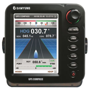
... high precision • Multi-information display mode ( Compass, GPS, ROT, NAV etc) Specifications • Highly accurate GPS Compass with three antennas • Short setting time and fast follow-up ...
... iron (deviation) • Built-in magnetometer calibration algorithm • Receive and track multiple satellite systems ( GPS, GPS & GLONASS, or GPS & BeiDou) • Support for Satellite-Based Augmentation System ...
the best suppliers