
{{product.productLabel}} {{product.model}}
{{#if product.featureValues}}{{product.productPrice.formattedPrice}} {{#if product.productPrice.priceType === "PRICE_RANGE" }} - {{product.productPrice.formattedPriceMax}} {{/if}}
{{#each product.specData:i}}
{{name}}: {{value}}
{{#i!=(product.specData.length-1)}}
{{/end}}
{{/each}}
{{{product.idpText}}}
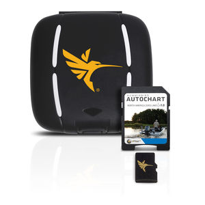
... With these all-important Zero Lines as your foundation, you can begin creating your own, accurate and detailed maps of any fishing spot, even where contour coverage doesn’t exist. Anglers can purchase Zero Line Map Cards ...
Humminbird

The Sonar 5 post-processing software is specifically designed to identify and count fish tracks. Sonar 5 can automatically track fish and can for example provide information on numbers ...
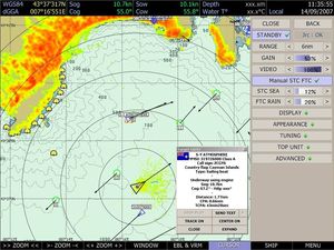
Simrad

... The best technologies combination for optimized performances. Wide range of compatible sounders Directly connected to the echo sounder or via a NavNet equipment, the Sounder module unlocks a dedicated workspace to ...
MaxSea International

What every sport fisherman has been waiting for TZ SportFishing responds perfectly to the needs of fishing amateurs everywhere, offering the precise combination of features that they require. It merges the ultra-fast ...
... demand always more from their plotter. TURBOWIN is the first certified Mini-ECDIS which becomes a navigation software standard applied to fishing.
Sodena

... SINGLE SOLUTION FOR COLLECTION AND ANALYSIS OF FISH DATA Aquabyte’s all-in-one platform consists of a combined hardware and software solution: AQUABYTE’S ALL-IN-ONE PLATFORM Underwater camera with winch Online web ...
Please specify:
Help us improve:
remaining